Guardian.co.uk, Tuesday 1 June 2010 17.53 BST
Mohenjo-daro, a ruined city in what is now Pakistan that contains the last traces of a 4,000-year-old civilisation that flourished on the banks of the river Indus, today entered the modern history books after government meteorologists recorded a temperature of 53.7C (129F). Only Al 'Aziziyah, in Libya (57.8C in 1922), Death valley in California (56.7 in 1913) and Tirat Zvi in Israel (53.9 in 1942) are thought to have been hotter.
(And all of them are DRY - this is with extreme Humidity!)
Temperatures in the nearest town, Larkana, have been only slightly lower in the last week, with 53C recorded last Wednesday. As the temperatures peaked, four people died, including a prisoner serving a life sentence for murder and an elderly woman. Dozens are said to have fainted.
The extreme heat was exacerbated by chronic power cuts which have prevented people from using air-conditioning. The electricity has cut out for eight hours each day as part of a severe load-shedding regime that has caused riots in other parts of Pakistan where cities are experiencing a severe heatwave with temperatures of between 43C and 47C.
The blistering heat now engulfing Pakistan stretches to India where more than 1,000 people have reportedly died of heatstroke or heart attacks in the last two months. Although Europe and China have experienced cooler than average winters, record or well-above average temperatures have been recorded in Tibet and Burma this year.
Southern Europe was yesterday rapidly warming after a particularly cool winter. (Partly from the Icelandic Volcano.) Thirteen provinces in southern Spain, including Andalucia, Murcia and the Canary islands, were put on "yellow alert" after meteorologists forecast temperatures rising to 38C (99F) in Cadiz, Córdoba, Jaén, Malaga and Seville.
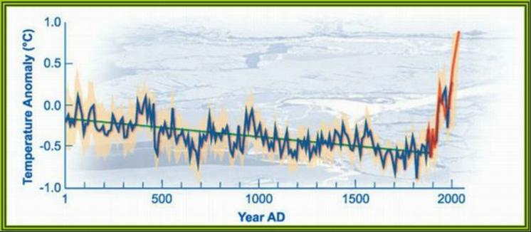
According to the US National Oceanic and Atmospheric Association (NOAA), the national climate monitoring service that measures global temperatures by satellite, 2010 is shaping up to be one of the hottest years on record. The first four months were the hottest ever measured, with record spring temperatures in northern Africa, south Asia and Canada.
As a result of high sea surface temperatures, the Atlantic hurricane season, which officially started today is now expected to be one of the most intense in years. Last week NOAA predicted 14 to 23 named storms, including eight to 14 hurricanes, three to seven of which were likely to be "major" storms, with winds of at least 111mph. This is compared to an average six-month season of 11 named storms, six of which become hurricanes, two of them major.
On Sunday, scientists reported that Africa's Lake Tanganyika, the second deepest freshwater lake in the world, is now at its warmest in 1,500 years, threatening the fishing industry on which several million lives depend. The lake's surface waters, at 26C (78.8F), have reached temperatures that are "unprecedented since AD500," they reported in the journal Nature Geoscience.
Record heat also hit Southeast Asia in May. According to the Myanmar Department of Meteorology and Hydrology, Myanmar (Burma) had its hottest temperature in its recorded history on May 12, when the mercury hit 47°C (116.6°F) in Myinmu. Myanmar's previous hottest temperature was 45.8°C (114.4°F) at Minbu, Magwe division on May 9, 1998. According to Mr. Burt, the 47°C (116.6°F) measured on May 12 this year is the hottest temperature measured in Southeast Asia in recorded history.
Hurricanes Where They've Never Been
The record heat over southern Asia in May has helped heat up the Arabian Sea to 2°C above normal. The exceptionally warm SSTs have helped fuel a rare major hurricane in the Arabian Sea today, as Tropical Cyclone Phet underwent an impressive bout of rapid intensification this morning to become a Category 3 storm with 125 mph winds. Intense hurricanes are rare in the Arabian Sea, due to the basin's small size, the interference of the summer monsoon, and the frequent presence of dry air and dust from the Arabian Peninsula. Phet is now the second strongest tropical cyclone ever recorded in the Arabian Sea.
The Joint Typhoon Warning Center (JTWC) is forecasting Phet to become a Category 5 storm later today. It is on track to make landfall in Pakistan between the Indus River Delta and the city of Karachi. If Phet is a major hurricane at landfall, it would be capable of driving a storm surge in excess of 4 meters into the Indus River Delta region. This area is less than 4m in elevation for a distance of 50 miles inland along a 100-mile stretch of coast. Fortunately, the low-lying regions of the Indus Delta are lightly populated near the coast, according to Wikipedia. A high death toll is possible from Phet if it hits as a major cyclone, given past history.
Quebec Wildfires
As locals prepare to celebrate Clean Air Day tomorrow, a layer of smoke from forest fires burning in Quebec compelled the city’s medical officer of health to issue a smog advisory yesterday.
According to the Ontario Ministry of the Environment’s air quality index, the air in Ottawa reached a very poor level by 10 a.m. The ministry says very poor air can have serious respiratory effects, even during light physical activity.
“What is in the air right now is a component of smog. It is called fine particulate matter,” said Jean-Guy Albert, a program manager with Ottawa Public Health. Air quality in Ottawa varies from year to year, said Albert. The city is really a victim of weather and the industrial activity in southern Ontario and the United States.
According to Mike Buckthought, the co-ordinator of the Commuter Challenge in Ottawa-Gatineau, the forest fires, smog and last week’s record high temperatures are all signs of climate change.
Oil spill update
Moderate onshore winds of 10 - 20 knots out of the southeast to southwest are expected to blow over the northern Gulf of Mexico over most of the next week, resulting increased threats of oil to Alabama, Mississippi, and the Florida Panhandle, according to the latest trajectory forecasts from NOAA. These persistent southwesterly winds will likely bring oil as far east as Fort Walton Beach, Florida, by Monday.
.
.
Subscribe to:
Post Comments (Atom)

No comments:
Post a Comment